Surveying Services
From raw point clouds to finished deliverables. Explore our specialized surveying solutions.
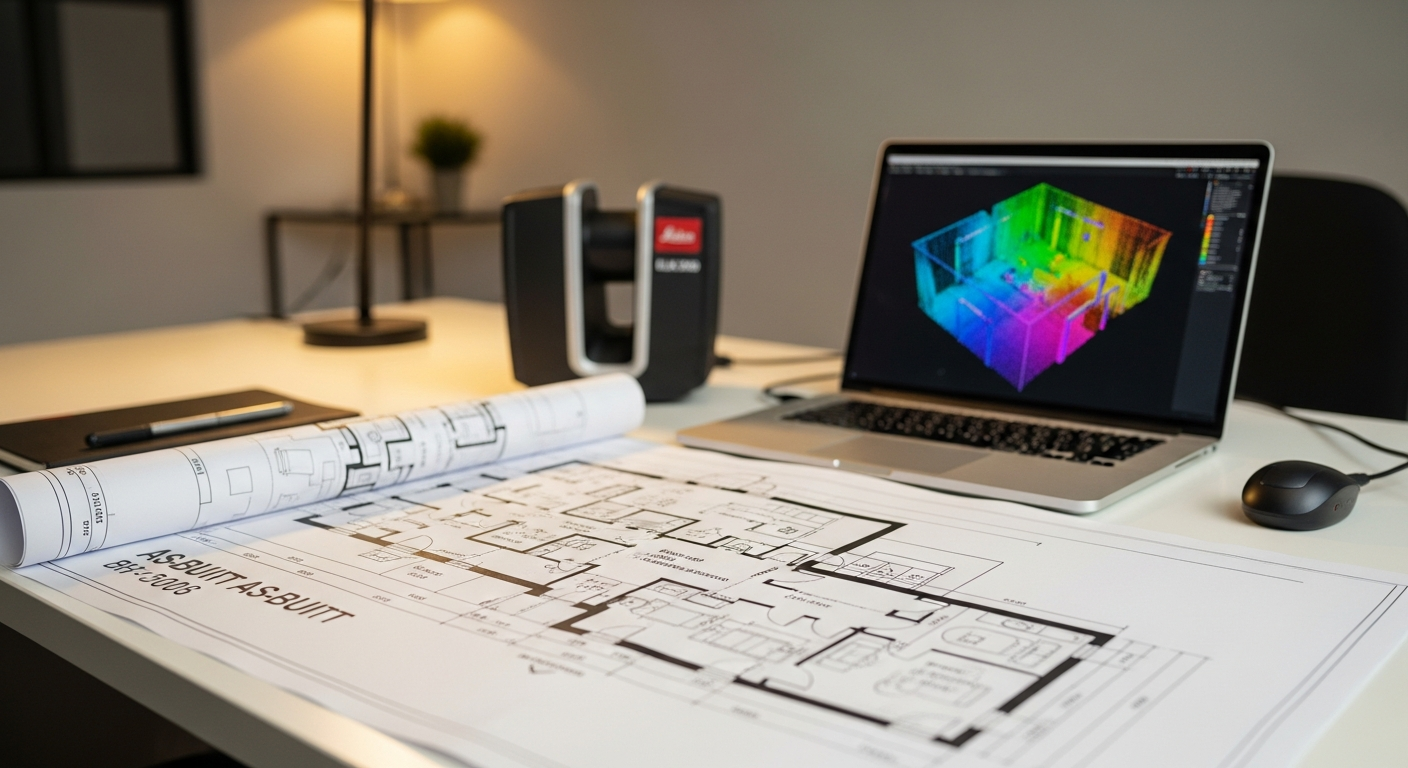
As-Built Floor Plans
Permit-ready 2D CAD plans derived from LiDAR data. Accurate floor plans, elevations, and sections for architects and contractors.

Virtual Walkthroughs
Interactive 3D tours and digital twins for remote site reviews, real estate marketing, and facility management.
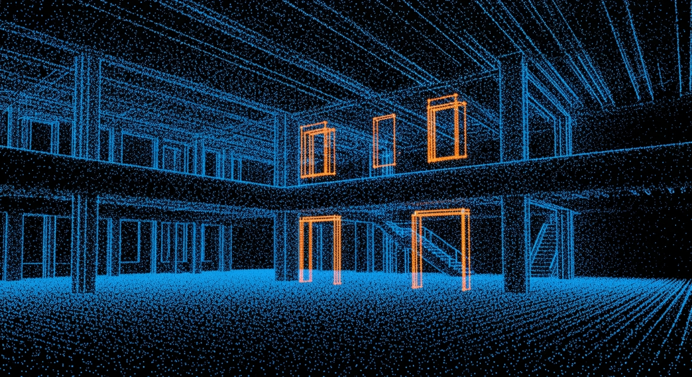
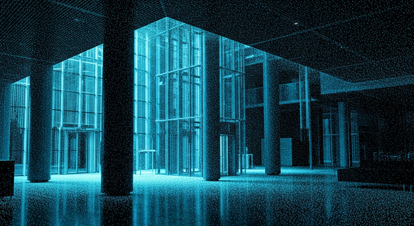
The Digital Deliverable.
We don't just survey; we model. Our in-house BIM technicians convert raw survey data into clean, architect-ready assets compatible with Revit, AutoCAD, and ArchiCAD.
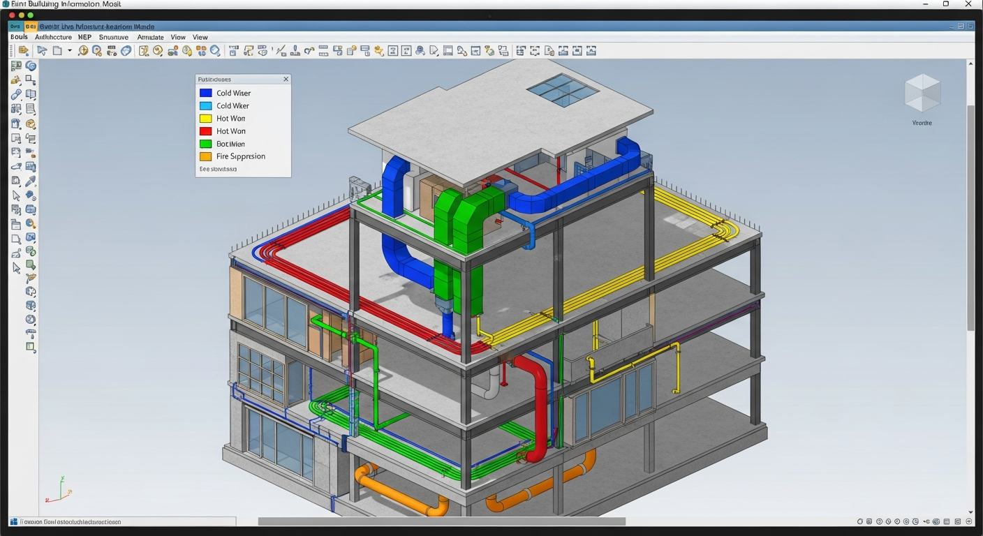
Intelligent BIM Models
Full architectural Revit models (LOD 200-300). Creating accurate, architect-ready base models for renovation design and existing conditions documentation.
- Native .RVT Families
- Architectural & Structural Elements
- Renovation-Ready Models
Recent Surveys
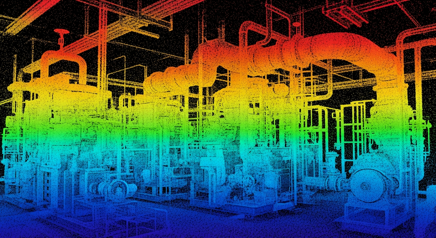
Complex MEP Plant Room
High-Rise Lobby Renovation

Historic Facade Preservation
From Ground Truth to BIM
Explore Interactive
Viewer
Launch a sample point cloud
in your browser
Frequently Asked Questions
Everything you need to know about 3D laser surveying.
What is 3D laser surveying?+
How accurate is the surveying?+
What file formats do you deliver?+
How long does a survey take?+
Do we need to vacate the building during surveying?+
What types of projects benefit from surveying?+
Related Services
For renovation-ready documentation, see as-built floor plans from 3D surveying. If you need marketing or remote walkthroughs, explore our virtual tours and digital twins. Get a custom quote for any surveying project.