The building documentation industry is undergoing its biggest transformation in decades. In 2026, the firms that thrive are the ones fusing multiple data streams into a single, trustworthy Digital Twin — not the ones still surveying in isolation.
The Old Way Is Fading Fast
For years, building documentation meant one thing: hire a surveyor, get a set of 2D floor plans, and hope they are close enough to reality. When 3D laser surveying entered the market a decade ago, it was a leap forward, but most firms treated it as a standalone service. You got a point cloud. Maybe a Revit model. And that was the end of the conversation.
That approach no longer meets the demands of the modern AEC market. Architects need design-ready BIM files on day one. Structural engineers need to know exactly where every rebar and post-tension cable sits before drilling a single anchor bolt. Owners want a living Digital Twin they can query for the next 20 years, not a static set of drawings that gather dust.
The 2026 Market Shift: Three Technologies, One Deliverable
The firms leading this shift are the ones that have stopped thinking about individual surveying services and started thinking about integrated data capture. Here is what that looks like in practice:
Aerial RTK Mapping
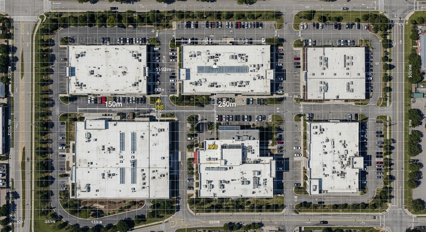
Centimeter-accurate site boundaries, roof conditions, and topography captured in minutes by autonomous drones.
Subsurface GPR
Ground-penetrating radar reveals rebar, post-tension cables, and buried utilities that no camera or laser can see.
High-Density LiDAR
Millimeter-accurate interior and exterior geometry, registered to survey control, ready for BIM extraction.
When these three datasets are fused into a single coordinated model, the result is something no individual technology can deliver on its own: a complete Digital Twin that captures what you can see above ground, what is hidden below the surface, and the broader site context from the air. Architects, engineers, and contractors all work from the same verified source of truth.
Why 2026 Is the Tipping Point
Several market forces are converging right now to make integrated data capture the new standard rather than a premium option:
1. Insurance and Liability Pressure
Post-tension cable strikes during retrofit projects have resulted in multi-million-dollar claims across California. Insurers are starting to require subsurface documentation before approving construction on existing concrete structures. GPR surveying, once a nice-to-have, is becoming a condition of coverage for seismic retrofit contractors.
2. Design-Build Timelines Are Compressing
The design-build delivery model is accelerating across California, with owners demanding faster project timelines while maintaining quality. Integrated data capture enables architects and engineers to begin design work immediately with verified, trustworthy existing conditions data — eliminating the weeks of field verification that used to delay every project.
3. BIM Mandates Are Expanding
Federal agencies and major institutional owners are now requiring BIM deliverables for renovation and retrofit projects, not just new construction. This means the existing conditions model needs to be Revit-ready from the start, not converted after the fact from a set of flat CAD drawings.
4. Technology Costs Have Dropped
The cost of commercial drones, high-resolution GPR units, and terrestrial LiDAR scanners has dropped significantly over the past three years. What used to require three separate specialty subcontractors can now be deployed by a single integrated team in a single mobilization, reducing both cost and coordination overhead for building owners.
The ROI of Integrated Data
The business case for integrated capture is straightforward. Here is what our clients are reporting after switching from isolated surveying to the three-technology approach:
- 40% reduction in project timelines from existing conditions to design start
- Zero return site visits — all data captured in one mobilization
- Zero post-tension cable strikes on retrofit projects with GPR mapping
- Design teams begin work immediately with BIM-ready files
- Single coordinated model eliminates discipline-to-discipline conflicts
- Digital Twin asset provides ongoing value for facility management
What This Means for Property Owners
If you are planning a renovation, retrofit, or capital improvement project in 2026, the question is no longer whether you need a 3D survey. The question is whether your surveying partner can deliver the complete picture: above ground, below surface, and from the air, all in one coordinated dataset.
The firms that invest in integrated data capture now will move faster, avoid costly field conflicts, and build with confidence. The ones that stick with fragmented, single-technology approaches will spend more time, more money, and take on more risk — a trade-off that no longer makes sense in a market where better tools are readily available.